


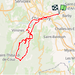

47 km | 82 km-effort

Gebruiker


Gratisgps-wandelapplicatie
 SityTrail
IGN / Geografische instituten
SityTrail World
De wereld gaat voor u open
Tocht Mountainbike van 40 km beschikbaar op Auvergne-Rhône-Alpes, Savoie, La Ravoire. Deze tocht wordt voorgesteld door tracegps.
Circuit proposé par Alpes Tour « Le départ de ce topo s'effectue depuis le rond point de l'Hopital à Chambéry (à proximité du Château)…» La suite et toutes les infos, les photos sont ICI Juste avant le col du Planet, nous arrivons à une intersection où une grande pelouse est minutieusement coupée dans un pur style anglais. A voir absolument !!!


Lopen

Stappen

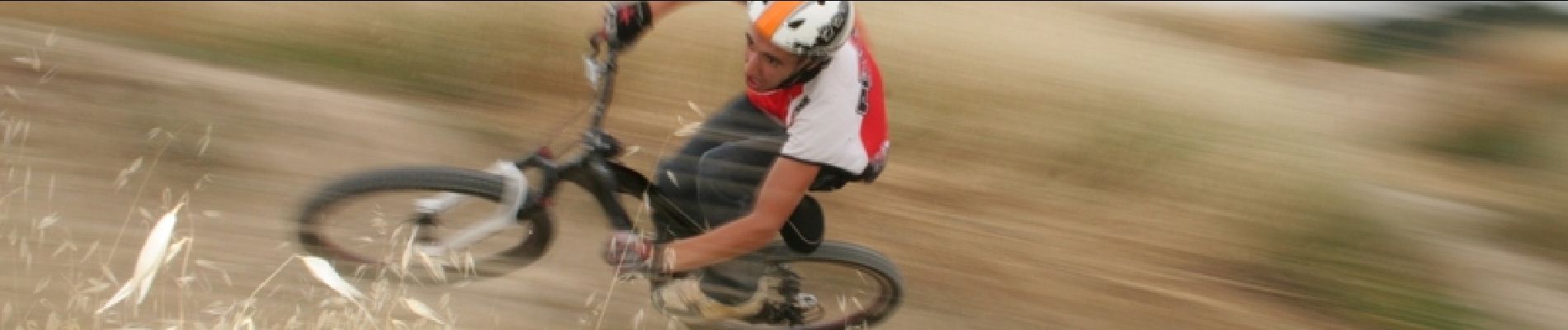
Mountainbike

Fiets

Stappen
Mountainbike

Stappen
Stappen
Hybride fiets